I never go to the front line. And yet I read it every day. What happened in some field in Ukraine, where a tanker caught fire off Hormuz — I piece together a single smartphone clip, one commercial satellite image, one line from a Telegram post, and build a picture of the whole board. This is OSINT (Open-Source Intelligence). Espionage that was once the exclusive domain of national intelligence agencies can now be drawn from an ocean of public information by anyone. Today, through the lens of intelligence studies, I want to unpack how this blog actually works every day — how open-source information is collected, and above all, how it is verified.
Information Is Not Intelligence — The Five-Step Intelligence Cycle
First, let’s separate the terms. We lump them together, but “information” and “intelligence” are different. Information is the raw fragment: a satellite photo, a single eyewitness line. Intelligence is the conclusion — those fragments gathered, processed, and given judgment. The process that turns information into intelligence is called the Intelligence Cycle. It has five steps.
① Planning and Direction — decide what needs to be known. Without a question, there is no collection. ② Collection — gather material against the defined target. ③ Processing and Exploitation — translate foreign languages, break codes, read imagery, and turn it into usable form. ④ Analysis and Production — weave the scattered pieces into “so what does it mean?” This is where intelligence gets its true value. ⑤ Dissemination — deliver the judgment to those who need it. And the result cycles back into new questions (①). These five wheels turning without stopping are the essence of intelligence work.
The Five Streams of Collection — From HUMINT to OSINT
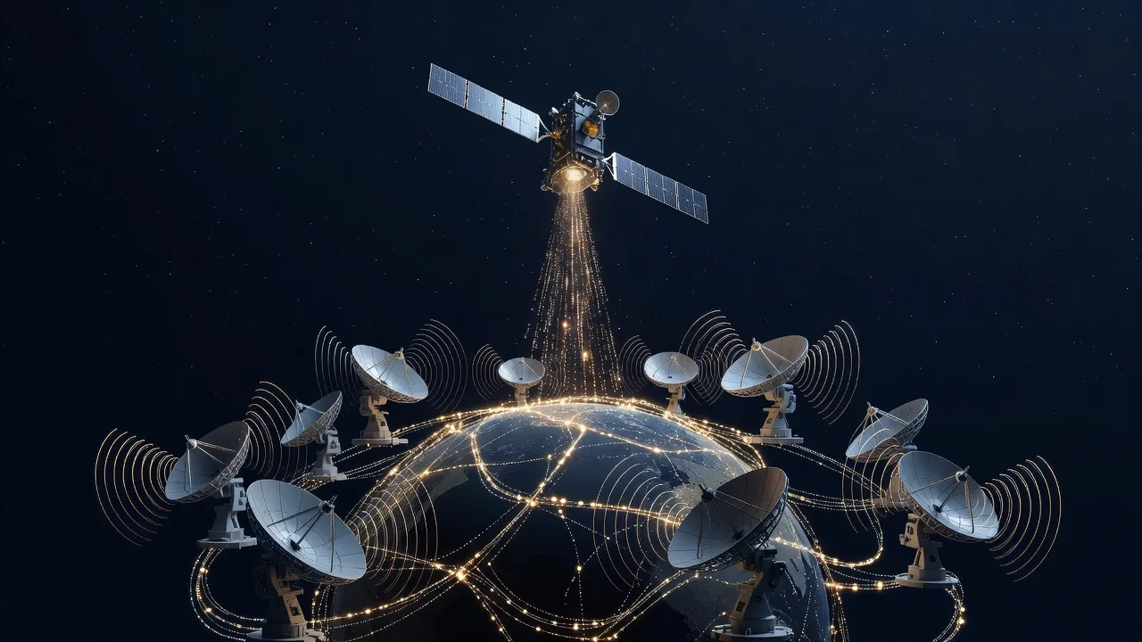
Collection (step ②) traditionally comes in several “disciplines” (INTs). HUMINT (human intelligence) comes from people — sources, informants, interrogation. The spy you picture belongs here. SIGINT (signals intelligence) intercepts communications and electronic signals. IMINT/GEOINT (imagery and geospatial intelligence) sees the ground through satellite and aerial photos. MASINT (measurement and signature intelligence) reads physical traces like radar returns or chemical signatures. And OSINT (open-source intelligence) — intelligence drawn from publicly accessible material: newspapers, broadcasts, social media, commercial satellite imagery, open databases.
In the past, the first four were effectively a state monopoly. Only great powers launched satellites; only agencies laid interception networks. But in the 21st century the board changed. As commercial satellites grew dense, as smartphones landed in every human hand, as social media poured out real-time testimony — the fifth stream, OSINT, exploded. What only states once did, journalists, researchers, even amateurs now do. I call this “the democratization of espionage.”
OSINT’s Toolbox — Satellites, Ships, Planes, and Heat
So what, concretely, do I look at? First, commercial satellite imagery. The European Space Agency’s Sentinel photographs the planet every few days and releases it for free; private satellites like Planet and Maxar sweep the same spot several times a day. A newly dug trench at a missile base, fighters lined up on a runway, the number of warships berthed in a port — all of it surfaces in a single frame. Analysts have tracked changes at North Korea’s Yongbyon nuclear complex and missile sites for years using commercial satellites alone. Even without a national reconnaissance satellite, the open sky confesses a great deal.
Second, ship tracking (AIS). Large vessels broadcast their position in real time via the Automatic Identification System, and websites that aggregate these signals lay bare the routes of tankers and cargo ships. The interesting moment is when a signal is switched off. When the sanctions-dodging “shadow fleet” of Iran or Russia kills its AIS in a certain sea, that very silence becomes the clue to smuggling. Third, aircraft tracking (ADS-B). Aggregate the position signals broadcast by airliners, military planes, and VIP jets, and you can see who is flying where. A U.S. politician’s flight to Taiwan once became the most-tracked flight in the world thanks to this technology.
Fourth, I even read heat. NASA’s thermal-detection satellite data (FIRMS) picks out abnormal hot spots on the surface. It was built for wildfire monitoring, but OSINT analysts use it to trace the traces of shelling, airstrikes, and large explosions. When a “hot spot” suddenly appears at some coordinate on the front, it means something burned there. Satellites, ships, planes, heat — open traces lie scattered everywhere, and the problem, always, is how you read them.
Interrogating a Single Photo — Geolocation and Chronolocation
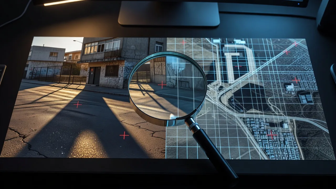
But how do you know “when and where” a public photo was taken? This is where OSINT’s real craft appears. First, geolocation. You match unique features in the image — a building’s shape, a sign, the ridge of a mountain, a road marking — one by one against maps, satellite imagery, and street views to pin the exact spot, and reverse image search finds the same scene from another angle. Second, chronolocation. The direction and length of shadows let you back-calculate the sun’s position and narrow the time of capture (tools like SunCalc compute the sun and shadows for a given place and date). The moon’s phase, the state of vegetation, and background events are also clues to timing. Fascinatingly, the sun and shadows are a master key that reveals location and time at once.
The process is more primitive than you’d think. You narrow candidate sites by matching the spacing of distant transmission towers, roof colors, and the angle at which a road bends against satellite maps. If a sign’s letters are visible, you infer the region from the language and business name. Once the coordinates are fixed, you calculate the time from the shadow angle — nailing down even “morning or afternoon.” This tedious cross-checking, which can take days, is the only bridge that turns a flashy claim into a verified fact.
The classic demonstration of this technique is the investigative collective Bellingcat‘s inquiry into the downing of flight MH17. Weaving together satellite imagery and photos and videos posted to social media through geolocation, they traced the route of the missile launcher (a Buk) through rebel-held territory and even identified the Russian military unit that operated it. Not a state agency, but civilian analysts doggedly cross-checking public material. OSINT’s discipline can be summed up in a single line — “Don’t believe what you see; prove it.”
OSINT’s power lies not in “gathering a lot” but in “interrogating one frame to the end.” Making a single corner of a building, a hand’s-width of shadow, confess the “when and where” — that is the craft that turns open-source information into intelligence.
Open Information Can Be Poison — Propaganda, Deepfakes, Confirmation Bias
But I don’t romanticize OSINT. The open sea holds not only pearls but poison. Belligerents leak only what favors their side and hide what doesn’t. Doctored photos, videos stripped of context, and now deepfakes made by AI are all mixed in. Add humanity’s oldest weakness — confirmation bias, the tendency to believe only what we want to — and OSINT becomes not a tool for revealing truth but a weapon for plausibly packaging lies. “The democratization of espionage,” without the discipline of verification, flips into “the democratization of disinformation.”
So the real skill lies not in collection but in cross-verification. That is the principle this blog holds to when covering a war. I lay out opposing camps simultaneously — pro-Russian and pro-Ukrainian channels, pro-Israeli and pro-Palestinian. Then I sort information into three grades. What both sides acknowledge is “verified”; what only one side claims is a “one-sided claim”; what has no basis is “unconfirmed.” A dazzling battlefield result reported by only one side is classified as a claim, not a fact, and weight rests only on the skeleton that neutral channels and both sides confirm together. It’s dull, but this discipline is the only sieve that filters out propaganda.
The Staff Officer’s Eye — Intelligence Is Completed in Judgment, Not Collection
Here I bring out a principle I learned in the military. No matter how much information you have, without analysis it is mere noise. Of the five wheels of the intelligence cycle, people fixate on “collection,” but what actually decides the board is the fourth wheel, “analysis and production.” The paradox of the OSINT era is right here. The volume of information has exploded, yet in that flood the judgment to sort out what matters and what to believe has become rarer still. Fragments overflow; eyes that can see the picture are scarce.
So good analysis does three things. One, it places the pieces on a context of time and space (how does this event connect to that one?). Two, it always suspects the source’s bias (who leaked this, and why?). Three, it clearly separates the certain from the presumed (“it is” and “it appears to be” are different). This is what an intelligence staff officer does, and what I try to do on this blog every day: rather than flashy assertions, drawing an honest line between how far the evidence goes and where presumption begins.
This isn’t only an expert’s problem. Every day we receive war footage and “breaking news” on our smartphones. A good share of it is footage from an older, different conflict, or even game footage, and these days AI-fabricated scenes are mixed in too. The moment we hit share without asking the source, we unwittingly become someone’s propaganda tool. So OSINT’s discipline — checking the location, questioning the timing, comparing opposing sources — is a “defense” needed not just by intelligence agencies but by all of us living in a flood of information.
My Conclusion — In an Age When Anyone Can Be a Spy, the Real Weapon Is Discipline
Let me sum up. OSINT has placed espionage, once a state monopoly, into everyone’s hands. With nothing but smartphones, satellites, and social media, we read the front in real time, refute the lies of great powers, and document war crimes. This is clear progress. But the open sea is where pearls and poison flow together, so diving in without the discipline of verification means drowning in disinformation. The real weapon of this era, then, is not an expensive satellite but “the discipline of deciding what to believe” — the cold restraint of cross-verifying, suspecting bias, and separating the certain from the presumed.
This is why this blog is called “The Staff Officer’s View.” A staff officer is not the one firing a rifle at the front, but the one who gathers scattered information, reads the board, and offers up judgment. I am not an intelligence agency holding classified material, but I interrogate the fragments drawn from the open sea by the same discipline. And as long as that discipline holds, open information becomes not the power of a few but the eyes of everyone. If today’s piece leaves behind even a small habit — asking yourself, at every line of news, “Is this verified, a one-sided claim, or unconfirmed?” — that is enough.
Frequently Asked Questions (FAQ)
OSINT (Open-Source Intelligence) is intelligence drawn from publicly accessible material — newspapers, broadcasts, social media, commercial satellite imagery, and open databases. Unlike the secret means of national agencies such as spies (HUMINT) or interception (SIGINT), it reconstructs facts from open material alone. Its value was proven explosively in the Russia-Ukraine war.
Two techniques. Geolocation (pinning the place) matches unique features in the photo — buildings, signs, ridgelines, markings — against maps, satellite imagery, and street views, and uses reverse image search. Chronolocation (pinning the time) back-calculates the sun’s position from the direction and length of shadows and narrows the moment using the moon’s phase, vegetation, and other cues. The sun and shadows are the key clue that reveals location and time at once.
Disinformation — propaganda, doctoring, deepfakes — and confirmation bias, the tendency to believe only what we want to. Open material mixes truth and falsehood, so accepting it without verification makes it easy to be deceived. That is why the discipline of cross-verification is essential: comparing material from opposing camps simultaneously and sorting information into “verified / one-sided claim / unconfirmed.”
① Planning and direction (deciding what to learn) ② Collection (gathering material) ③ Processing and exploitation (translating and reading it into usable form) ④ Analysis and production (weaving pieces into judgment) ⑤ Dissemination (delivering the result) — five stages, with the result cycling back into new questions. People focus on “collection,” but intelligence’s true value is completed in the fourth stage, “analysis.”